GPS is only one of several global satellite navigation systems. It was developed by the US military; Russia, China and the European Union also operate their own satellite navigation systems, the latter bearing the name Galileo. Colloquially, the abbreviation GPS (for Global Positioning System) has become established as a synonym for satellite navigation systems in general.
ERC Starting Grant Bedford Felswand Gebirge Landschaft
RUB, Rebecca Harrington
ERC Starting Grant 2022
Monitoring Geological Movements Using GPS
Global satellite navigation systems enable the precise tracking of Earth movements. Professor Jonathan Bedford intends to tap this potential within the framework of the ERC grant TectoVision.
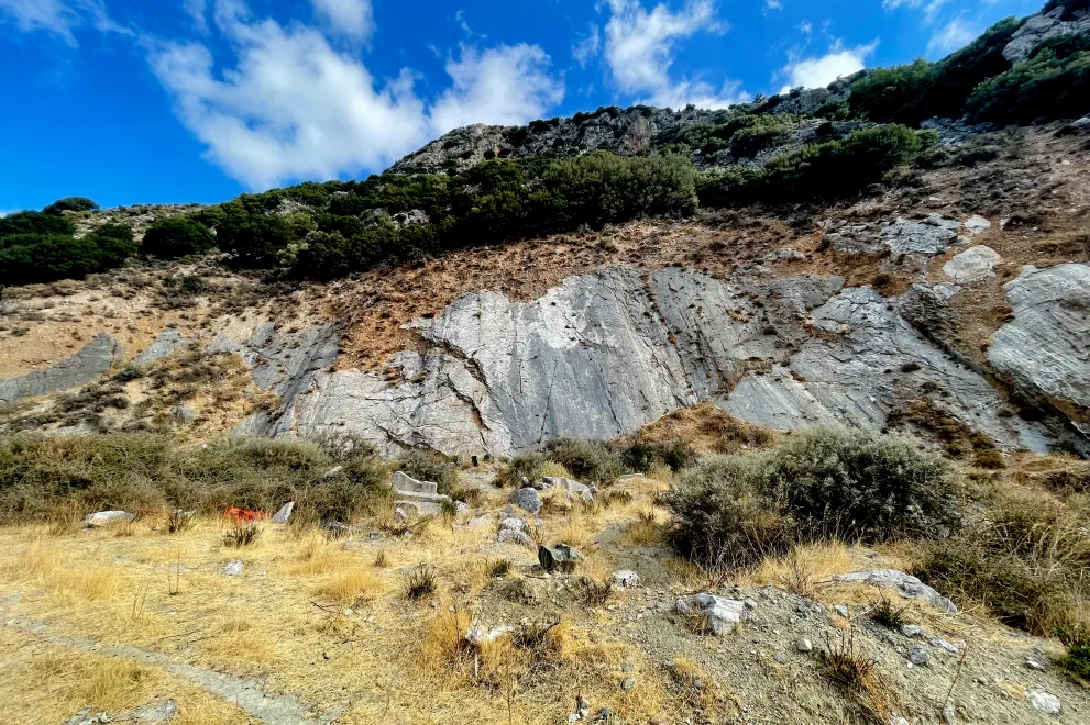
Southern Europe is is one of the most seismically active and hazardous regions globally. Here, it is thought that several small tectonic plates, known as microplates, are simultaneously moving, while the spatiotemporal complexity of these motions is poorly understood. The details of these microplate motions will be addressed by Dr. Jonathan Bedford from the Bochum Institute of Geology, Mineralogy and Geophysics in the framework of his Starting Grant. He is planning to use the funds, among other things, to set up a low-cost satellite navigation tectonic monitoring system in Greece – the first of its kind in the world.
Global satellite navigation systems – colloquially known as GPS – have a much wider application range than just helping drivers and pedestrians navigate. They can also measure the movement of a number of other things, including the Earth’s tectonic plates. Worldwide, there are more than 20,000 monitoring stations of global navigation satellite systems (GNSS), which have been implemented specifically for geoscientific research. They operate with millimetre precision.
Such technology can be used, for example, to observe geological movements in the vicinity of faults, i.e. fractures in the Earth's crust. This is where earthquakes can occur when a stress builds up along the fault and discharges in a jerky movement. The movements in the vicinity of the fault can be registered using GNSS, even if they occur covertly, i.e. without triggering an earthquake.
Earthquake researchers have been refining GNSS technology in recent years in order to analyse tectonic movements with better spatial and temporal resolution. This is where Jonathan Bedford’s ERC project “TectoVision” picks up. The researcher intends to optimize data analysis and modelling. In addition, the installation of the GNSS system in Greece should provide new insights into transient plate movements: On what time scales do they take place – over minutes or over decades? What are the triggers for these movements? And to what extent do they indicate that an earthquake is imminent? Jonathan Bedford and his team will explore these questions.
The Starting Grant "What is controlling plate motions over the minutes to decades timescale?" is endowed with 1,85 million Euros. The project has started in 2022.
Professor Jonathan Bedford
Jonathan Bedford is a Professor for Physical Geodesy at the Institute of Geology, Mineralogy and Geophysics at Ruhr University.
ERC Grant Projects